The avenue is a component of National Route 150 (N150), except for its southbound segment between Quezon Bridge and Liwasang Bonifacio Overpass that is a component of National Route 170 (N170). Its segment from its southern end at Roxas Boulevard and Bonifacio Drive, both components of Radial Road 1, to Finance Drive is a component of Circumferential Road 1 (C-1).
History
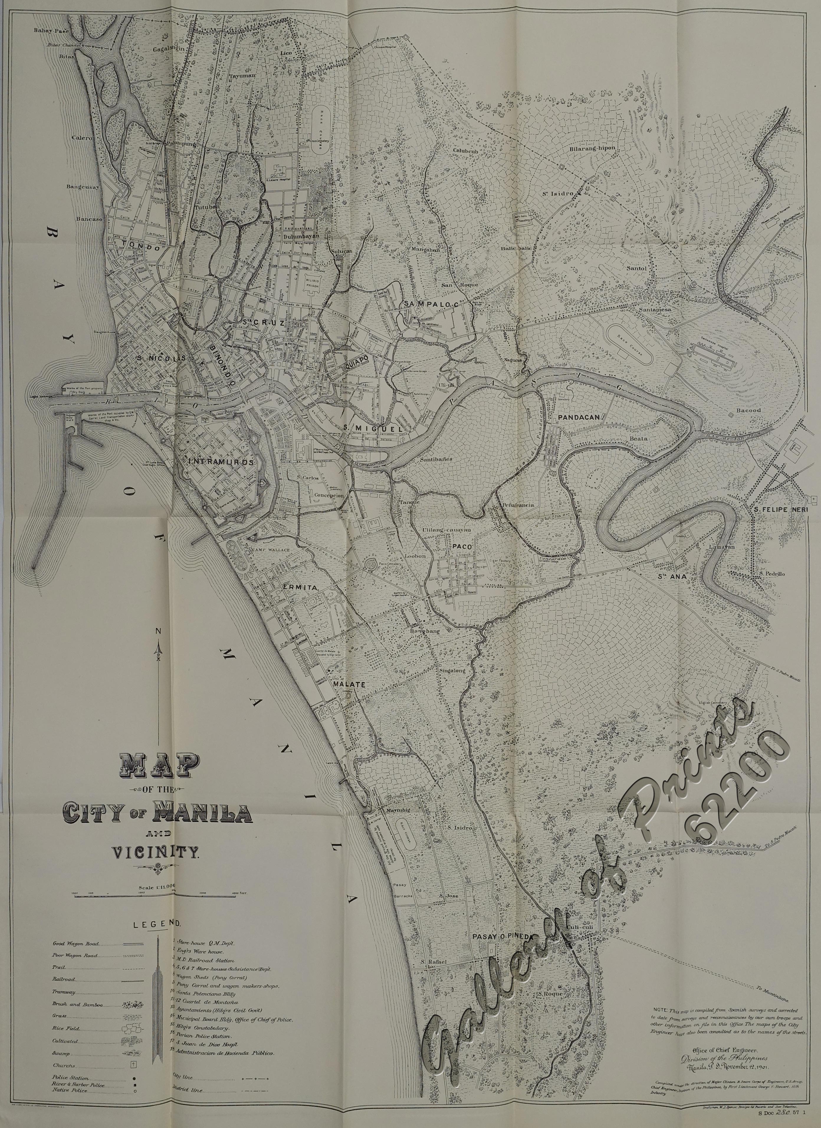
The origin of Padre Burgos Avenue could be traced back as a street running in parallel along the moat surrounding the walled area of Intramuros, called Paseo de las Aguadas[3] or Calzada de las Aguadas, Calzada de Vidal[4] or Paseo de Sebastián Vidal (apparently named after Spanish botanist Sebastián Vidal y Soler, director of the nearby Botanical Garden of Manila),[5] and Calzada de Bagumbayan or Paseo de Bagumbayan (for being the street that leads to Bagumbayan Field).[6] It used to end at Plaza Lawton at the north. It was also one of the right-of-way alignments of tranvía that existed until 1945.[7] The avenue's present-day section near Quezon Bridge occupies what was known as Calle Colgante, which provided access to the bridge's predecessor, Puente Colgante.[8]
Landmarks
Starting from the northern terminus, the road passes the following:[citation needed]
^Map of the City of Manila and Vicinity (Map). 1:11000. Office of Chief Engineers, Division of the Philippines. November 12, 1901. Retrieved November 27, 2021.
.svg)
.svg)
(2017-06-12).jpg)
